Hours of walk: 5
Rise: 1050 m
Drop: 1150 m
Itinerary
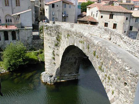
You leave Vallerougue on its southern side along a steep rise in a chestnut tree wood, up to the Col de l’Elze (684 m). You then go along the ridge towards the west, touching the peak of Le Lunda (987m). You keep on ascending and the scenery suddenly changes: chestnut trees give way to oaks and other Mediterranean species such as hollies and butcher’s brooms. The walk is again on rough and harsh calcareous ground. From the crest, the sea of the gulf of Leone on the south-west and the alpine ridges on the west are clearly visible. Continuing along this ridge, or just below, the route leads down to Cap-de-Côte (1189 m), where there is a beautiful gîte d’étape, in a traditional building in stone. The itinerary finally takes on a steep and bumpy descent to Le Vigan.
Food and accommodation
-In Le Vigan:
Gîte a Cap-de-Côte
Meals served upon reservation, open from April to September, accommodates 20 guests, tel. 33 (0)4 67 81 94 47.
Village vacances La Pommeraie
In the southern outskirts of Le Vigan, Avenue du Sergent Triaire, tel. 33 (0)4 67 81 66 00, mairie-le-vigan@wanadoo.fr.
Other options for food and accommodation can be found in Le Vigan.
Office du tourisme de Le Vigan, Maison de Pays ,
Place du Marché, tel. 33 (0)4 67 81 01 72, www.cevennes-meridionales.com