Hours of walk: 4,30
Altitude gain: 750 m
Altitude loss: 950 m
Itinerary
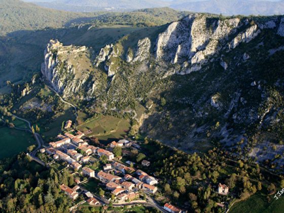
A little after the cemetery, the path cuts the wide bends of the asphalted road leading to the parking space at the foot of the castle of Monségur. From the Plat dels Cremats (where 220 Catharist inhabitants of the castle were burnt alive on the 16th of March of 1244), it is possible to walk up to the ruins along a steep path. The walk starts again from the parking space, on a path along the stream going through a wooded area. After following the D 9 road for a short while, you keep on descending, passing near the houses of Borde de Bas (m 765); Montferrier can be reached by walking along the stream. There is a beautiful church with a bell gable in the small old town. You go up again, north-west of the village, among meadows, cultivations and wooded areas. You then find the forest track going across the valley of the Rio Cachalet, to the houses of Pipié. You cross the D 117 road in order to go up through the wooded ridge of Les Péluts. The route proceeds along the crest, through the forest of Mondini, until the D 9A road, which is to be crossed to follow, when the road divides, towards Coulzonne. From Coulzonne, going along a dirt road across the fields, you reach Roquefixade. Just outside the village a gravestone recalls the death of 17 partisans, inflicted by the Vichy forces in 1944.
Food and accommodation
-In Roquefixade
Gîte d’étape de Roquefixade
In town, sleeps 18 in dormitory and rooms, lounge, meal service, tel. 33 (0)5 61 03 01 36, www.gite-etape-roquefixade.com .
Comité départementale du tourism de l’Ariège
www.ariegepyrenees.com.